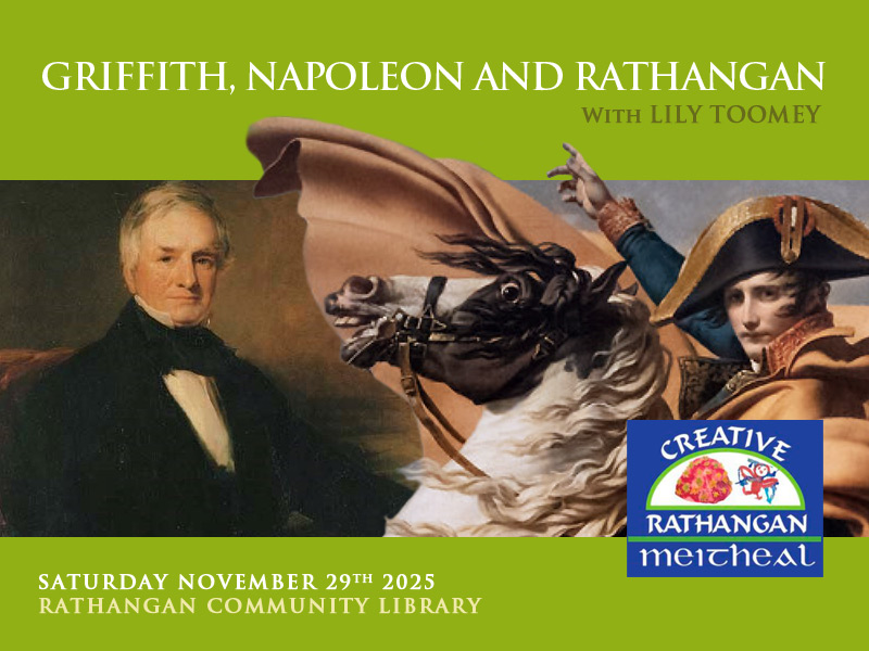
Griffith, Napoleon and Rathangan.
Saturday November 29th
Rathangan Community Library
In the early 1800s the seemingly unstoppable rise of Napoleon, and fears of a French blockade, led Britain to consider draining all of Ireland’s Bogs. An Act of Parliament provided for the appointment of Commissioners to establish whether these bogs could be drained and farmed. Between 1809 and 1814 the Bog Commissioners oversaw the detailed mapping of over 1 million statute acres of Irish bog. But once Napoleon was defeated interest in Ireland’s bogs waned, and these maps were filed away.
Over 100 years later Bord Na Mona made use of these maps as it began the complex work of transforming bogs across the midlands.
Richard Griffith was one of the first engineers appointed by the Bog Commissioners, and his immediate task was to map over 70,000 statute acres of the Bog of Allen in West Kildare and East Offaly. Griffith received his early education in Rathangan and is best known for his work on the valuation of land and property in Ireland – ‘Griffith’s valuations’– which formed the basis for rates.
Join us on Saturday November 29th to discover more about these maps, and the engineers who made them.
The event will be led by Lily Toomey from the RePeat Project which has used the Bog Commissioner’s Maps to identify the full extent of the bogs lost since the early 1800s – this includes cutaway bogs, peatlands converted to grassland, and forestry on peat soils. In the longer term this data may be used to identify areas suitable for rewetting under Ireland’s Climate Action Plan.
Date Saturday November 29th from 10 am to 12 noon
Venue – Rathangan Community Library Eircode – R51 YX65
Booking via rathanganlib@kildarecoco.ie
This is a free event organised by Creative Rathangan Meitheal and funded by Kildare Co Co and Creative Ireland.
Lily Toomey is an environmental historian whose research focuses on the modernising Irish state in the twentieth century. She has focused on how peatlands shaped and were themselves shaped by the politics, economy and culture of this period, and the legacies of these relationships for contemporary peatlands governance. She has worked as a research assistant on the RePEAT project which has allowed her to consider the maps and reports of the early nineteenth century Bogs Commission as both colonial objects and as a lens through which to examine the historical interdependencies between peatlands and people in Ireland.
The RePEAT project is a collaboration between Trinity College Dublin and the University of Galway, which turns the Bogs Commissioner maps against their initial purpose. Created to enable the drainage of Ireland’s peatlands, these maps can now help to model the baseline extent of peatlands in Ireland before many of them were drained to expand farming or turned into industrial peat extraction sites. The digitisation of these astonishingly accurate historical maps has been a crucial step to bring them into conversation with current land-use data which in turn allows us to identify present-day agricultural areas located on peat soils and discuss possible avenues for restoration.